Join us online on by clicking “Livestream” on the seminar page at 1pm.
Many cities around the world are potentially at risk from earthquakes due to buried faults that have been hidden by the expansion of the city. In this talk, Ruth will show how high-resolution satellite imagery can be used to identify potential faults that may pose risk to cities in Central Asia. She will show the potential hazard and losses to Almaty, Kazakhstan, and Bishkek, Kyrgyzstan, for specific earthquake scenarios by using the Global Earthquake Model’s OpenQuake Engine.
 Biography
Ruth is a postdoctoral researcher at the University of Leeds and the manager of the SENSE Earth Observation CDT and the ESA Polar+ Ice Shelves project. She is also communications and universities relationship lead for Space Hub Yorkshire.
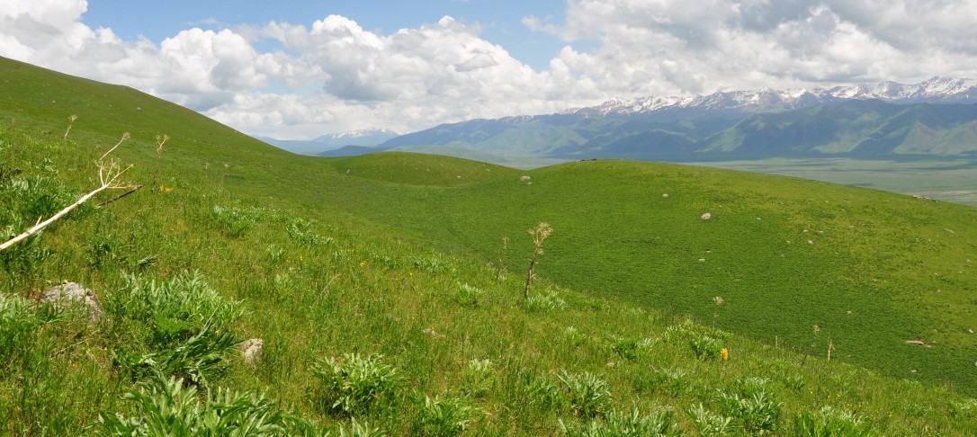
Ruth’s research focuses on Earth observation and seismic hazard in the Tien Shan region of Central Asia. She is particularly interested in quantifying earthquake risk resulting from buried faults that have been hidden by urban expansion. Although these faults are relatively small, they may pose comparable risk to large regional faults due to their proximity to major population centres. Ruth uses high resolution optical satellite data (Pleiades, SPOT) to make elevation models (DEMs) across Almaty, Kazakhstan and Bishkek, Kyrgyzstan, to identify these subtle faults from small changes in the heights of the surface. She then works with the Global Earthquake Model and the software OpenQuake to model the hazard (ground shaking) and risk (fatalities, economic cost) that would be associated with different earthquake scenarios. She also undertakes fieldwork in Kazakhstan and Kyrgyzstan to map faults in the field to verify the DEMs, and has hosted PhD students from the Bishkek Institute of Seismology, Kyrgyzstan at Leeds.
Ruth has also worked extensively on improving earthquake slip inversion methods using InSAR and GPS data by accounting for the fractal nature of fault slip using von Karman smoothing and Bayesian methods (her inversion code slipBERI, can be downloaded here). She has also quantified fault surface roughness in the Italian Apennines by mapping fault surfaces using terrestrial laser scanner and has investigated whether landslides can be used as a palaeoseismic indicators.