Hurricane Beryl’s extreme winds in Jamaica were nearly twice as likely due to climate change
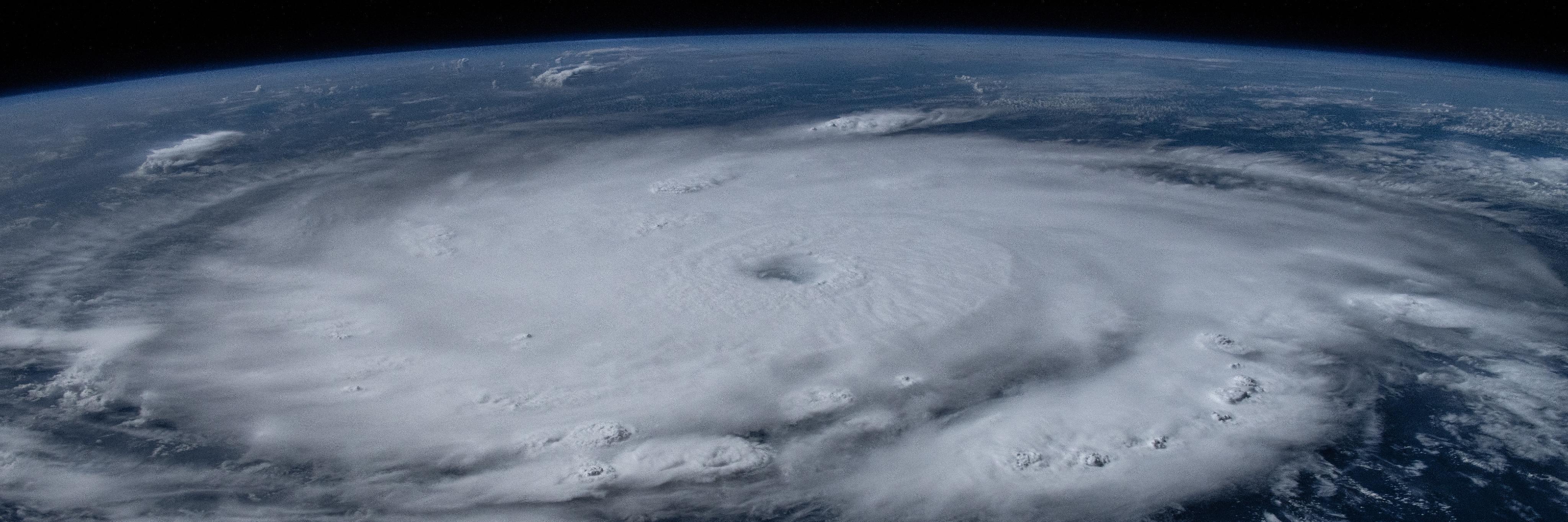
Hurricane Beryl on July 1 by Matthew Dominick, NASA
Hurricane Beryl was a destructive Category 5 Atlantic hurricane.
It had a long path westward with devastating impacts on the Caribbean, the Yucatán Peninsula, and the Gulf Coast/Texas in the United States in late June and early July 2024.
One of the many records it broke is that it was the earliest Category 5 hurricane in the season, based on observations going back to 1900.
Jamaica experienced severe damages from Beryl. The hurricane hit the island on July 3 as a Category 4 storm.
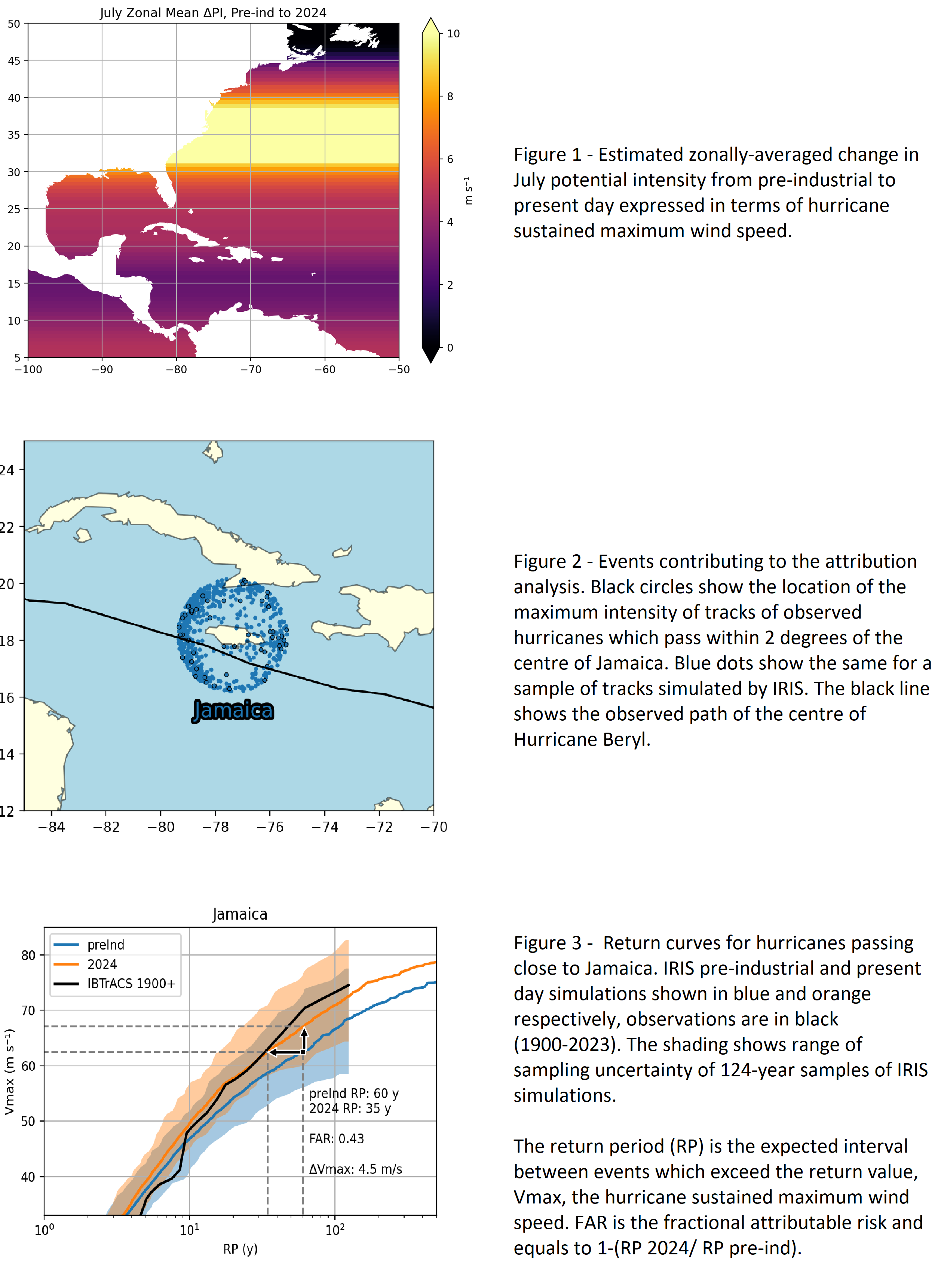
The potential intensity is a key metric that estimates the maximum possible wind speed, and this has increased (Figure 1). Using IRIS, thousands of hurricanes close to Jamaica were simulated (Figure 2). We can calculate a range of possible intensities in a pre-industrial colder world. The next simulation is done for the same cases but for our current climate.
The intensity of a Beryl type event was increased by about 4.5 m/s or 7% (Figure 3) – a change from the middle to nearer the top of the Category 4. From this we can also determine that the likelihood of this type of event near Jamaica has changed from an event expected on average once every 60 years to once every 35 years (Figure 3).
Hurricanes reaching Jamaica like Beryl have become almost twice as likely due to human-caused climate change.