Models to predict flood and drought risks developed by Imperial researchers

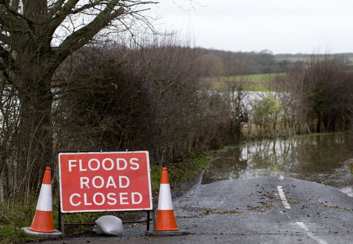
Models developed by Imperial researchers could help to predict floods.
Predicting floods, droughts and contamination to the chalk aquifer should become easier, thanks to models developed by researchers from Imperial.
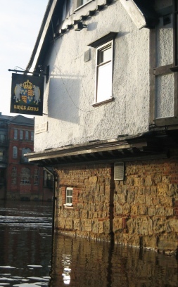
The models could help provide communities with advanced warning of approaching groundwater flooding,
Imperial academics teamed up with hydrogeologists and modellers from the British Geological Survey (BGS) to develop a range of models including one that more accurately predicts the time and location of groundwater flooding in southern England, which is the main location of the chalk aquifer. Nearly 400,000 properties stand at risk from groundwater flooding in areas such as the Berkshire & Hampshire Downs, the Isle of Wight, and the North and South Downs.

These models could mitigate millions of pounds in flood damages
Dr Adrian Butler, Reader in Subsurface Hydrology in the Department of Civil and Environmental Engineering at Imperial, says:
“Despite 2012 starting out as a period of extreme drought, it ended as the wettest year on record for England. Now in 2013, if England should get a wetter than normal period, there is a distinct possibility for groundwater flooding to occur in areas dominated by the chalk aquifer. Though there is little than can be done to prevent these floods, our risk assessment models are able to help the Environment Agency (EA) in providing communities with advanced warnings so that they can prepare.”
Dr Butler and his fellow researchers, in collaboration with Thames Water, are also developing models to assess the effect of drought on water availability in the Chalk aquifer, which provides up to 20 per cent of the UK's water supply. This will help enable the EA and water companies decide when to implement water conservation actions, such as a hosepipe ban, in times when the chalk’s water table is low.
The researchers’ models are helping to them to understand the susceptibility of the Chalk aquifer to extreme weather events. This sensitivity comes from the structure of the rock, which is mainly made of the remains of tiny algae that lived in the shallow, warm seas of the Cretaceous period, more than 66 million years ago. These remains make up the white chalk rock seen at many of Britain’s famous heritage sites, such as the ‘White Cliffs of Dover’ and the Uffington White Horse. The gaps between these fossil remains are crucial in controlling the rate that rainfall can seep down to the water table below. This movement of water is slow, around one metre per year, and when large amounts of rain falls in a short period of time it can cause a rapid build up of water. In extreme cases, this causes the water table to rise metres in a few days and can lead to flooding on the surface.
The researchers are also using their models to understand more about how nitrates seep into the chalk aquifer. Nitrates are the remains of excess fertilizers that farmers put on fields to compensate for the lack of nutrients in chalk.
European directives require the nitrate level in drinking water to be below 50 milligrams per litre in order to prevent health issues such as methemoglobinemia, or ‘Blue Baby Syndrome’, an illness that deprives infants of oxygen in their body tissue and causes digestive and respiratory problems.
When nitrate levels are above 50 milligrams per litre, water companies must treat the drinking water, which is a very expensive process. Dr Butler and his team have therefore, also created models that predict the amount of nitrates making their way into the groundwater supply.
The researchers say the models could provide water companies with advanced warnings on the level of nitrates expected to trickle into groundwater supplies each year. The companies can then decide what to do in regards to treating nitrates out of the water supply.
“Since the water seeps so slowly to the water table, nitrates found in soil at the surface can take multiple decades to reach the water table,” said Dr Butler. “Changes we make now concerning reductions in fertiliser usage above the chalk aquifer will take decades before they impact on groundwater; but in time, they will help reduce nitrate levels in both groundwater and chalk rivers, improving water supplies and important ecological systems.”
Article text (excluding photos or graphics) © Imperial College London.
Photos and graphics subject to third party copyright used with permission or © Imperial College London.
Reporter
Press Office
Communications and Public Affairs
- Email: press.office@imperial.ac.uk
