Extinct undersea volcanoes squashed under Earth's crust cause tsunami quakes
by Colin Smith

New research has revealed the causes and warning signs of rare tsunami earthquakes, which may lead to improved detection measures.
Tsunami earthquakes happen at relatively shallow depths in the ocean and are small in terms of their magnitude. However, they create very large tsunamis, with some earthquakes that only measure 5.6 on the Richter scale generating waves that reach up to ten metres when they hit the shore.
These types of earthquakes were only identified a few decades ago, so little information has been collected on them.
– Dr Rebecca Bell
Department of Earth Science and Engineering
A global network of seismometers enables researchers to detect even the smallest earthquakes. However, the challenge has been to determine which small magnitude events are likely to cause large tsunamis.
In 1992, a magnitude 7.2 tsunami earthquake occurred off the coast of Nicaragua in Central America causing the deaths of 170 people. Six hundred and thirty seven people died and 164 people were reported missing following a tsunami earthquake off the coast of Java, Indonesia, in 2006, which measured 7.2 on the Richter scale.
The new study, published in the journal Earth and Planetary Science Letters, reveals that tsunami earthquakes may be caused by extinct undersea volcanoes causing a “sticking point” between two sections of the Earth’s crust called tectonic plates, where one plate slides under another.
The researchers from Imperial College London and GNS Science in New Zealand used geophysical data collected for oil and gas exploration and historical accounts from eye witnesses relating to two tsunami earthquakes, which happened off the coast of New Zealand’s north island in 1947. Tsunami earthquakes were only identified by geologists around 35 years ago, so detailed studies of these events are rare.
The team located two extinct volcanoes off the coast of Poverty Bay and Tolaga Bay that have been squashed and sunk beneath the crust off the coast of New Zealand, in a process called subduction.
The researchers suggest that the volcanoes provided a “sticking point” between a part of the Earth’s crust called the Pacific plate, which was trying to slide underneath the New Zealand plate. This caused a build-up of energy, which was released in 1947, causing the plates to “unstick” and the Pacific plate to move and the volcanoes to become subsumed under New Zealand. This release of the energy from both plates was unusually slow and close to the seabed, causing large movements of the sea floor, which led to the formation of very large tsunami waves.
All these factors combined, say the researchers, are factors that contribute to tsunami earthquakes. The researchers say that the 1947 New Zealand tsunami earthquakes provide valuable insights into what geological factors cause these events. They believe the information they’ve gathered on these events could be used to locate similar zones around the world that could be at risk from tsunami earthquakes. Eyewitnesses from these tsunami earthquakes also describe the type of ground movement that occurred and this provides valuable clues about possible early warning signals for communities.
Dr Rebecca Bell, from the Department of Earth Science and Engineering at Imperial College London, says: “Tsunami earthquakes don’t create massive tremors like more conventional earthquakes such as the one that hit Japan in 2011, so residents and authorities in the past haven’t had the same warning signals to evacuate. These types of earthquakes were only identified a few decades ago, so little information has been collected on them. Thanks to oil exploration data and eyewitness accounts from two tsunami earthquakes that happened in New Zealand more than 70 years ago, we are beginning to understand for first time the factors that cause these events. This could ultimately save lives.”
By studying the data and reports, the researchers have built up a picture of what happened in New Zealand in 1947 when the tsunami earthquakes hit. In the March earthquake, eyewitnesses around Poverty Bay on the east coast of the country, close to the town of Gisborne, said that they didn’t feel violent tremors, which are characteristic of typical earthquakes. Instead, they felt the ground rolling, which lasted for minutes, and brought on a sense of sea sickness. Approximately 30 minutes later the bay was inundated by a ten metre high tsunami that was generated by a 5.9 magnitude offshore earthquake. In May, an earthquake measuring 5.6 on the Richter scale happened off the coast of Tolaga Bay, causing an approximate six metre high tsunami to hit the coast. No lives were lost in the New Zealand earthquakes as the areas were sparsely populated in 1947. However, more recent tsunami earthquakes elsewhere have devastated coastal communities.
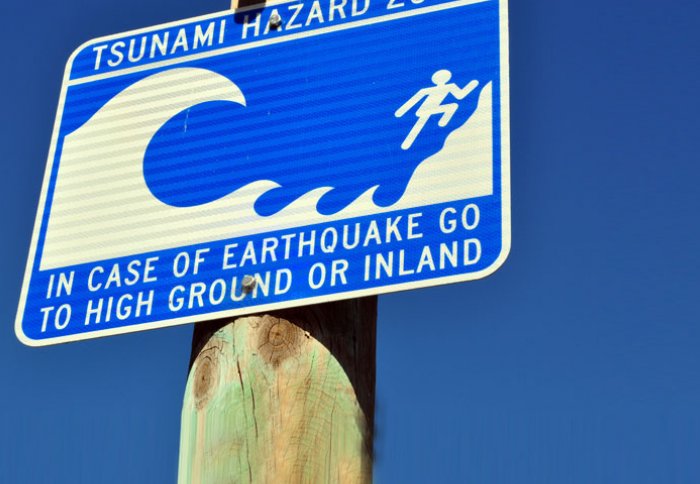
The researchers are already working with colleagues in New Zealand to develop a better warning system for residents. In particular, new signage is being installed along coastal regions to alert people to the early warning signs that indicate a possible tsunami earthquake. In the future, the team hope to conduct new cutting-edge geophysical surveys over the sites of other sinking volcanoes to better understand their characteristics and the role they play in generating this unusual type of earthquake.
Article text (excluding photos or graphics) © Imperial College London.
Photos and graphics subject to third party copyright used with permission or © Imperial College London.
Reporter
Colin Smith
Communications and Public Affairs