Imperial students help to put vulnerable countries on the map

The Friends of Médecins Sans Frontières society at Imperial hosted a ‘mapathon’ to help to improve maps of vulnerable countries.
Over 70 members of the public and students came to Imperial College London to attend the student-run mapathon, which tasked participants with making online map improvements to help disaster risk assessment and energy management in vulnerable parts of the world. Accurate maps can also help with vaccination control, as well as wider healthcare and aid delivery.
The Imperial event was organised by Imperial’s Friends of Médecins Sans Frontières (MSF) student society. Kishan Patel, a fourth year medical student and vice-president of the society said: “The aim of today’s event is to inspire people, show them what they can do and how they can help.”
Missing maps
The event was organised as part of the wider Missing Maps project. This  humanitarian project pre-emptively maps parts of the world that are vulnerable to natural disasters, conflicts and disease epidemics. Similar events are organised by groups and individuals all over the world.
Many of the places where these disasters occur are ‘missing’ from any map and first responders lack the information to make valuable decisions regarding relief efforts. Missing Maps aims to create highly detailed maps that will be ready for these first-responders to use in the event of a crisis.
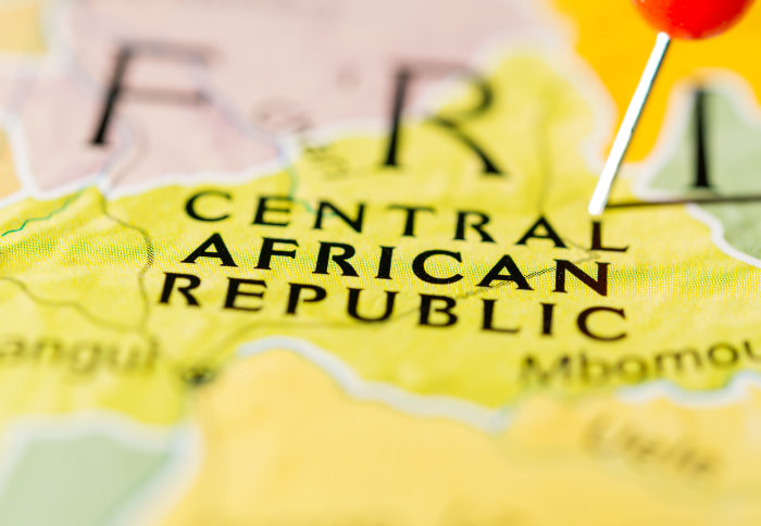
Mapping the Central African Republic
The area of focus for this mapathon was Bangassou, a city in the Central African Republic. Despite thousands of people living there, the city doesn’t appear on Google Maps.
The Central African Republic is among the ten poorest countries in the world, with the lowest GDP per capita at purchasing power parity in the world. According to the Human Development Index, which measures average achievement in three basic dimensions of human development – a long and healthy life, knowledge and a decent standard of living – the country had the second lowest level of development globally. It is also estimated to be the unhealthiest country as well as the worst country in which to be young.
Additionally, mappers at the event worked on mapping residential areas in the Danga-Gboudou commune, as MSF hopes to improve the understanding of the causes of mortality through a countrywide mortality survey in 2020.
Worldwide effort
Volunteers at Imperial traced satellite imagery into OpenStreetMap, a collaborative project to create a free editable map of the world, of what they  could see in Bangassou, such as buildings or villages. Local volunteers and NGO staff then add details from the ground, such as the names of neighbourhoods, streets and medical facilities. Humanitarian organisations can then use the mapped information for outbreak management, logistics and security.
The Imperial mapathon fits into Missing Maps and MSF’s wider goal and worldwide efforts of mapping the whole of the Central African Republic.
Humanitarian collaboration
Médecins Sans Frontières (MSF) is an international humanitarian medical non-governmental organisation whose medical teams act to save people’s lives in conflict zones, natural disasters and epidemics. Imperial’s student society Friends of MSF aim to increase the awareness of MSF and the work they do.
The Missing Maps project is a collaboration between the American Red Cross, British Red Cross, Humanitarian OpenStreetMap Team and Médecins Sans Frontières. In the five years it has been running, over 90,000 people have contributed to maps.
Article text (excluding photos or graphics) © Imperial College London.
Photos and graphics subject to third party copyright used with permission or © Imperial College London.
Reporter
Joanna Wilson
Communications Division